
Chichen Itza Map: Site Layout, Buildings & Walking Route

A Chichen Itza map reads as three zones, not one site. The Great North Platform holds El Castillo, the Great Ball Court, the Temple of the Warriors and the causeway north to the Sacred Cenote. The Central Group, 400 metres south, holds El Caracol and Las Monjas. Old Chichen sits further south again. Follow the map in that order and you walk about 3 kilometres of flat path without backtracking.
Map legend
- Major landmarksEl Castillo, Great Ball Court, Temple of the Warriors, Sacred Cenote, El Caracol.
- Secondary structuresTzompantli, Venus Platform, Osario, Las Monjas, Akab Dzib.
- Main walking pathsFlat gravel circuits linking the northern platform to the central group.
- Sacred Cenote routeSacbe Number 1, the raised causeway running north from the ceremonial core.
- Visitor servicesEntrance, ticket windows, parking, restrooms, lockers, shaded rest areas.
- Special-access areaOld Chichen and conservation zones that open and close without notice.
How to Read the Chichen Itza Site Map
The map is organised around one open plaza and the paths radiating from it. Once you locate El Castillo at the centre of the Great North Platform, every other symbol on the plan has a bearing and a distance you can hold in your head.
Three symbol families matter: solid shapes for standing monuments, thin lines for the gravel visitor paths, and the single thick line running north, which is the ancient causeway. Background on the site as a whole sits in the general Chichen Itza guide.
Site Layout and Major Buildings by Visitor Zone
Every structure on the plan belongs to one of four mapped zones. Use this table to decide how much of the map you will actually walk before you enter.
| Visitor zone | Main landmarks | Why it matters on the map |
|---|---|---|
| Great North Platform | El Castillo, Great Ball Court, Temple of the Warriors, Tzompantli, Venus Platform | The orientation anchor: about 350 m from the entrance and the point every other distance is measured from. |
| Sacred Cenote spur | Sacbe Number 1, Sacred Cenote | The only out-and-back leg on the plan, 300 m straight north of the pyramid. |
| Central Group | El Caracol, Las Monjas, The Church, Osario, Akab Dzib | Quieter southern half of the map, 750 m from the entrance along a shaded path. |
| Old Chichen and conservation zones | Temple of the Initial Series, southern jungle trails | Marked as special access; sections open and close, so confirm at the junction signboard. |
| Visitor services | Main west entrance, ticket windows, parking, restrooms, lockers | Clustered at the western edge, which is why the map reads west to east. |
The Main Plaza on the Map
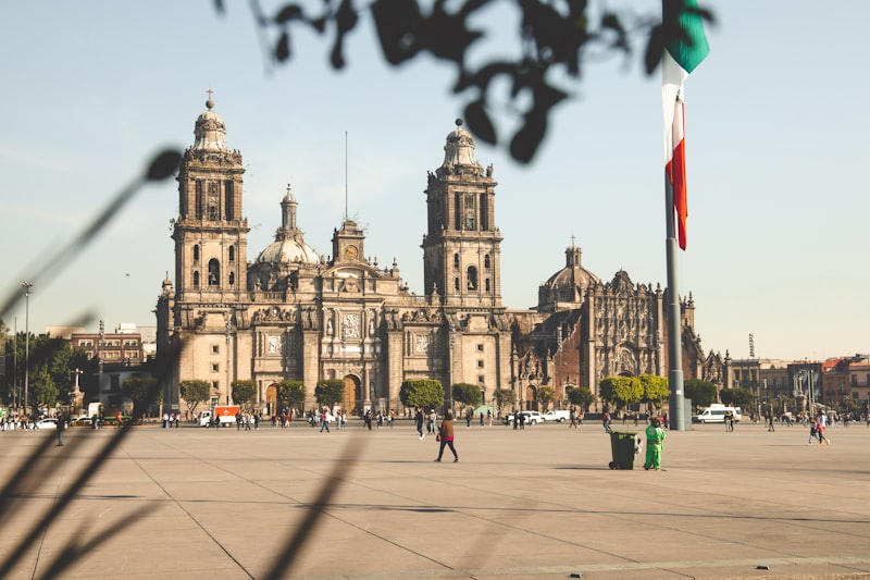
No two landmarks on this part of the map sit more than 400 metres apart, and the ground is flat throughout. From El Castillo it is 150 metres west to the Great Ball Court and 120 metres east to the colonnade, and the structures themselves are described in the Great Ball Court guide and the Temple of the Warriors guide.
The pyramid drawn at the centre of the plan is the reference point for the whole map, and its terraces and staircases are set out in the Kukulcan Pyramid guide. The inner structure marked on some plans is closed to visitors and covered in the inside Chichen Itza pyramid guide.
The Sacred Cenote Route
The thick line running north from the plaza is Sacbe Number 1, a raised stone causeway roughly 300 metres long and wide enough to walk three abreast. It ends at the sinkhole described in the Sacred Cenote at Chichen Itza guide, with a viewing platform and a small souvenir row on the map.
Walk this leg early. The causeway has almost no shade, and doing it last means recrossing the full plaza in midday heat.
Southern Monuments on the Map
The round building drawn 750 metres south of the entrance is the most under-visited important landmark on the map, and its window alignments are explained in the El Caracol observatory guide. Behind it the Las Monjas complex, The Church and Akab Dzib form a tight cluster you can cover in 20 minutes.
South of that cluster the plan switches to special-access shading. Sections of Old Chichen open and close for conservation work, so read the junction signboard rather than the printed plan.
Walking Route Through the Archaeological Site
Follow the mapped circuit in this order and you cross the main plaza once instead of three times.
- Enter from the west and walk 350 m straight to El Castillo.
- Turn west 150 m to the Great Ball Court while the wall still throws shade.
- Head north up the sacbe 300 m to the Sacred Cenote and return along the same causeway.
- Cross to the eastern side for the Temple of the Warriors and the Group of a Thousand Columns.
- Continue 400 m south past the Osario to El Caracol and Las Monjas.
- Return along the shaded western path to the exit.
Two Route Mistakes the Map Prevents
The first is saving the cenote for last, which doubles your exposed plaza crossings. The second is missing the light: the best angles on each mapped structure shift through the morning, as set out in the Chichen Itza photography guide.
Visitor Services and Onsite Orientation
Visitor facilities: entrance, parking, restrooms and landmarks
Chichen Itza visitor map showing entrance, parking, restrooms and archaeological landmarks
One main entrance sits on the western side with parking, ticket windows, toilets and lockers, and a smaller eastern gate serves the adjacent hotels. How much of the map you can realistically walk depends on gate timings, listed in the Chichen Itza opening hours guide.
Rope lines on the ground follow the restricted perimeters drawn on the plan. They are access boundaries, not climbing routes, and the current rules are covered in the can you climb Chichen Itza guide.
Download the Chichen Itza Map for Offline Use
Phone signal inside the archaeological zone is patchy, so save the map before you pass the turnstiles. The high-resolution printable version is prepared for offline use.
The downloadable file is being finalised. This button activates once the high-resolution map is published.
Explore Chichen Itza with Itza Quest
A guide turns the map from a list of buildings into a city you can read on the ground. Our Chichen Itza tours follow the route order above with certified INAH guides, so the plan you studied is the plan you walk.
Continue reading
Related guides with the same travel intent.
Frequently Asked Questions
How big is the Chichen Itza archaeological zone on the map?
The open archaeological zone covers roughly 5 square kilometres, but the visitor circuit is far smaller. The mapped route from the entrance to the Sacred Cenote and back through the Central Group totals about 3 kilometres of flat gravel and grass paths.
Where is El Castillo on the site map?
El Castillo stands at the centre of the Great North Platform, about 350 metres from the main western entrance along a single straight path. It is the first major structure you see, and every other group on the map is described relative to it.
How far is the Sacred Cenote from the main pyramid on the map?
The Sacred Cenote lies about 300 metres due north of El Castillo, reached by a raised Maya causeway marked on the map as Sacbe Number 1. The walk takes 5 minutes each way and it is the only out-and-back leg on the standard visitor route.
What is the best walking route order on the map?
Walk El Castillo first, then the Great Ball Court, then north to the Sacred Cenote, back through the Temple of the Warriors and the Group of a Thousand Columns, and finish at El Caracol and Las Monjas. That order follows the shade and crosses the main plaza once.
How long does it take to walk the whole mapped circuit?
Two hours covers the full circuit at a comfortable pace with stops for photos and explanation. Ninety minutes is the realistic minimum, and three hours suits anyone who wants the southern monuments most day visitors skip entirely.
Is a printed map handed out at the entrance?
Signboards with site plans stand at the entrance and at each major group, in Spanish, English and Maya. Printed maps are not handed out, and phone signal inside the zone is patchy, so save or screenshot a plan before you pass the turnstiles.
Does the map show which structures you can enter or climb?
Site plans mark restricted perimeters with rope lines rather than climbing rules. Every major pyramid is roped off at ground level, so treat the map as a walking plan and check the current access rules separately before you go.